1.3.3. GetCapabilities
"The purpose of the mandatory GetCapabilities operation is to obtain service metadata, which is a machine-readable (and human-readable) description of the server's information content and acceptable request parameter values." (OGC 2004)
The following line shows a GetCapabilities request (use a text editor if you want to view the file "mswms_gmap" (best with Oxygen or UltraEdit).
http://www2.dmsolutions.ca/cgi-bin/mswms_gmap?SERVICE=WMS&VERSION=1.1.1&REQUEST=getcapabilities
The parameters "http://www2.dmsolutions.ca/cgi-bin/mswms_gmap?" indicate again the location of the map server. The parameters for the GetCapabilities request follow after the server location definition.
A GetCapabilities request consists of the following two mandatory request parameters
| Request Parameter | Description |
|---|---|
| SERVICE=wms | Service type |
| REQUEST=GetCapabilities | Request name |
There are three more GetCapabilities parameters that can be declared in the URL, but those parameters are optional. Please have a look at the following pdf file (page 15) if you are interested in those parameters: OGC Web Map Service Interface
The result of a GetCapabilities is an XML file, that contains the mentioned service metadata.
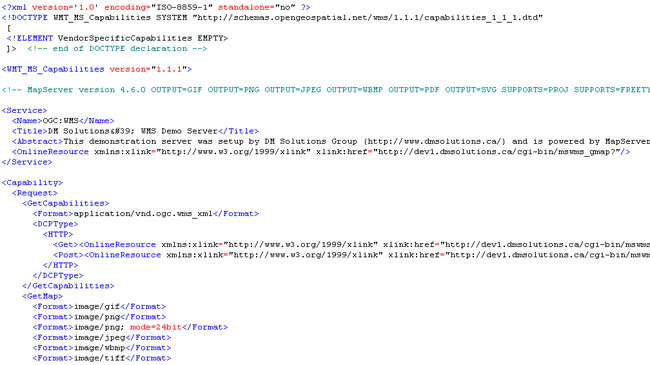 Result of a GetCapabilities request (UMN MapServer)
GetCapabilities Exercise
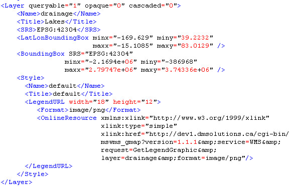
Check out the GetCapabilities request by typing the request string in the address bar of your browser (or click on the link above). Watch out that there are no spaces within your URL string. Save the resulting file on your computer and open it with an editor. Have a look at the file. You there find information about the GetMap parameters version, layers, styles, crs (or srs), bbox, and format. Look for them within the xml-file. Tip: Look for the content of the tags <Layer> and <GetMap>.
You did not find the sections in the GetCapabilities-file? (Click here for more information)
With the information you find in the GetCapabilities-file you are able to change the remaining parameters of which you were not able to change in the GetMap Exercise (bbox, format, layers). Now, create a new request by changing the parameters according to the information of the GetCapabilities-file.
Possible solutions are:
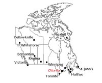 Result 1 with layers cities and boundaries (UMN MapServer) Result 1 with layers cities and boundaries (UMN MapServer) |
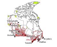 Result 1 with layers roads, cities, boundaries, and parks (UMN MapServer) Result 1 with layers roads, cities, boundaries, and parks (UMN MapServer) |
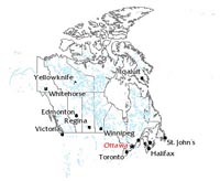 Result 1 with layers boundaries and waterbodies (UMN MapServer) Result 1 with layers boundaries and waterbodies (UMN MapServer) |
You have no idea what to do? (Click here for more information)

