1.3. Web Map Service (WMS)
Learning Objectives
You will be able...
- ...to explain how a WMS request works.
- ...to list the three operations that are defined by WMS
- ...to request a map using a free map server.
Introduction
|
A Web Map Service (WMS) is a standard to provide visualisation of geospatial data over the Internet. WMS allows you to consume information on a map over the Internet or to publish map layers from your GIS or image processing system onto the Web. In this unit, we only look at the consumption of map information over the Internet. WMS operations can be invoked using a standard web browser by submitting requests in the form of URLs. The content of such URLs depends on which operation is requested. Therefore, when requesting a map, the URL indicates what information is to be shown on the map, what portion of the earth is to be mapped, the desired coordinate reference system, the output image width and height, the image format, etc. (Wikipedia) |
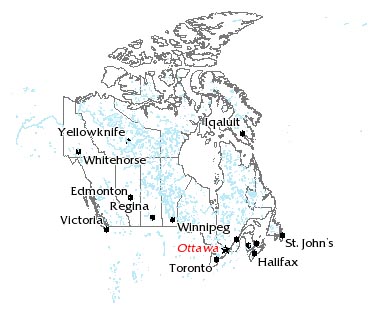
 Map from a Webmap server (UMN MapServer) Map from a Webmap server (UMN MapServer) |
A Web Map Service is usually not invoked directly. More often, it is invoked by a client application that provides the user with interactive controls (Wikipedia). Nevertheless, in this unit we want you to invoke the Web Map Service directly. Only by typing the URL in the browser's address bar and changing its parameters, you comprehend how a Web Map Service works. Since within applications, these actions normally are invisible for the user because they happen in the background, you never get to know how Web Map Service requests function.
