1.3.3. Thematic Navigation in 2D Maps
Not every interactive 2D map features thematic navigation because the map
must be about a topic. Therefore, in many cases maps that feature thematic
navigation are thematic maps. There is one main exception: Topographic maps can
feature Map Layer Control Tools (you are able to switch on and off layer of
certain topics) which are part of the thematic navigation.
It is more common to implement sequential navigation structure in interactive
maps than in web pages. We here present you some examples:
Sequential Structure
-
Slope Stability on Nisyros Island
There is the menu "Index Map" (1) where you can create a slope stability Index Map. It is a step-by-step procedure to determine the slope stability on Nisyros Island combined with areas relevant to damage potential. The procedure starts with the definition of input parameters. The next step is called with a "Forward" button (2).
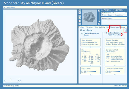 Slope Stability on Nisyros Island (Flüeler 2005)
 -
Yosemite National Park Hiking Map
In the menu "Trails" you can visualise hiking trails in the Yosemite national park. The trail has to be defined in two to three steps: You can choose a trail due to its name, difficulty, duration or location. Step-by-step you can select different attributes.
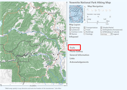 Yosemite National Park Hiking Map (Williams 2005)
Even if there are some interactive maps that feature a sequential structure as thematic navigation, it it more common though to implement a non-sequential structure as thematic navigation. The next examples present you some of those maps.
Non-Sequential Structure
-
Map Layer Controls
We already discussed this technique in former lessons. You are able to switch on and off various thematic layers by clicking on the checkboxes. You do not have to follow a specific order to switch on and off the individual layers.
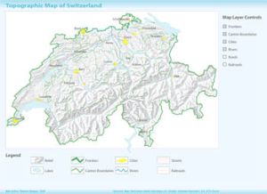 Map Layer Controls
 -
Show Attributes on Mouse Over
A common way of thematic navigation in interactive maps is showing additional thematic information with "on mouse over" and "on click" events.
The next example shows the energy consumption and hydrologic powerplants in the USA. The estimated energy consumption per state is visualised with a histogram when moving the mouse over a state. Additional information about dams are viewed when clicking on the dam feature.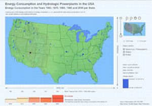 On mouse over and on click events (Burger et al.)
 -
Selection Lists and Radio Buttons
This application visualises the population density of Switzerland in the years 1970-2000. You can select various settings in an arbitrary order.
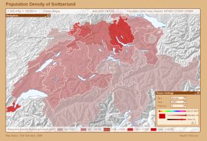 Interactive choropleth map (Schnabel 2008)
