1.1.4. Navigation Tools
There are several different branches of navigation. Each navigation branch uses other instruments (Wikipedia). The following list presents seven navigation branches:
- Celestial Navigation - navigation by observation of the position of the sun, moon and stars, and sometimes planets relative to the observer and a known location (Greenwhich Meridian or Prime Meridian).
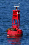
- Pilotage - navigation by using visible natural and man made features such as sea marks (see left image below) and beacons.
- Dead Reckoning - navigation by using
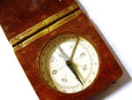
compass and
 log to monitor expected progress on
a journey.
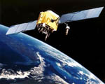
 - Waypoint Navigation - navigation by using electronic equipment such as radio navigation and satellite navigation system to follow a course to a waypoint.
- Position Fixing - determining current position by visual and electronic means.
- Collision avoidance using
 radar.
 Seamark (Wikipedia) Seamark (Wikipedia) |
 Compass (Wikipedia) Compass (Wikipedia) |
 GPS-Satellite (Wikipedia) GPS-Satellite (Wikipedia) |
Maps as Useful Navigational Aids
To be able to navigate, you do not need a map. But maps are helpful navigational aids which highlight relations between objects of the real space. You can record the information you get from the navigational observations of the introduced navigation branches in a map. With these maps, it is easier to get or keep your bearings.
