1.5. Summary
|
In the field of cartography we distinguish between topographic and thematic maps. Topographic maps show the terrain with its situation and its names. Whereas thematic maps represent the distribution of a particular geographical feature, or of a structural relationship between several features. |
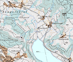
 Map 1 (© 2006 swisstopo) Map 1 (© 2006 swisstopo) |
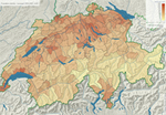
 Map 2 (Atlas der Schweiz 2.0) Map 2 (Atlas der Schweiz 2.0) |
Screen maps should be designed interactively. In doing so, the quality of the map increases. The most popular interactivities are:
- Map layer control tools
- Navigation (zoom in/out, pan, original view, et.)
- Adaptive Zooming
- Mouse Over Effects
- Click Effects
- Interactive Legend
If possible, an adaptive zooming should be implemented. That way, the quality of the map is always high and the cartographic principles are conformed.
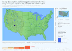
Interactive thematic maps contain the same interactive parts as topographic maps and even more. The following example contains a couple of these possible interaction tools:
 Example of an interactive thematic map
There are a few rules that have to be respected when producing a screen map - independent of the map type (topographic or thematic) and independent of the interactivity of the map (static or interactive):
- Adaptation of the information density for a screen map
- Minimum distances between two surfaces
- Minimum aerial dimensions of point signatures
- Font (must be legible)
- Colours (must be distinguishable)
- Scale Indication (Cartesian grid or scale bar)
