1.2.6. Unit-Summary
To be able to pack the entire content of a paper map in a screen map, we have to implement some interactive tools, otherwise the map's details could not be detected. The most important tools are:
- Map layer control
- Navigation
Sometimes it is reasonable to implement adaptive zooming which describes the adjustment of a map, its contents and the symbolization to target scale in consequence of a zooming operation.
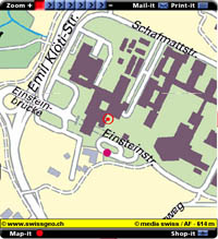
An application with implemented adaptive zooming is the webservice of Swissgeo. We exctracted the different zooming level that you can choose in Swissgeo and produced a quicktime movie (click on the thumbnail):
 Eaxmple of adaptive zooming (Swissgeo)
You are free to enter your own address on the Swissgeo Webpage and explore the whole
application.
Interactive tools that are often implemented in screen maps are:
- Mouse over effects
- Click effects
- Interactive Legends
